- Duration: 2 days
- Level: Intermediate
- Teaching methods: Individual, on site
- Prerequisite: Computer science basics, GIS using QGIS basics
- Provision of the software: yes
- Location: Paris, Lyon, La Rochelle, Geneva (individual) or within your country / company
- Accessibility: arx iT is committed to facilitating access to its training courses for people with disabilities, and to implementing the necessary educational, material and organizational adaptations.
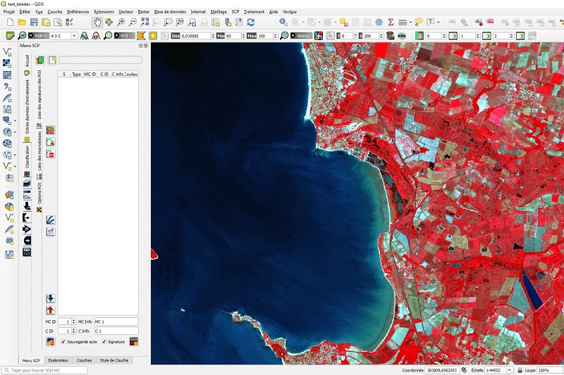
This QGIS training session is designed for anyone with a basic knowledge of office computing and GIS using QGIS software, who wishes to manipulate, organize and process satellite data from QGIS in order to carry out classifications and index calculations.
At the end of this course, trainees will be able to:
- Understand remote sensing basics
- Extract satellite images
- Extract and exploit satellite data in QGIS
- Perform supervised classification using QGIS
- Perform spectral index calculations (NDVI)
- Map results