- Duration: 2 days
- Level: Advanced
- Prerequisite: ArcGIS Pro Initiation training
- Teaching methods: Face-to-face, Remote
- Provision of the software: no
- Location: Paris, Lyon, La Rochelle, Geneva (individual) or within your country / company
- Accessibility: arx iT is committed to facilitating access to its training courses for people with disabilities, and to implementing the necessary educational, material and organizational adaptations.
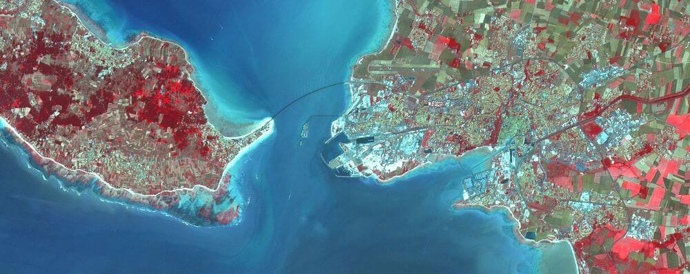
This ArcGIS Spatial Analyst training session is intended for people wishing to manipulate Vector and Raster data in advanced mode for the spatial analysis of territories. This session also allows to approach notions of manipulation of satellite imagery (remote sensing).